Sigurd Peak NF ski descent, Feb 17, 2013
Ski trip up Rose Trail to Sigurd Peak and descent of the virgin north face.
Participants: Alexis Guigue, Paul Kubik, Craig Speirs
The weather forecast was for sunny breaks but it was gently raining as we left West Vancouver. We set off from the Sigurd trailhead on Ashlu Main around 8 AM. One hour of hiking brought us to the valley above Crooked Falls and continuous snow. It was a short distance from the skin up point to the Rose Trail, which is the shortest route to Sigurd Peak. The trail has not been cleared recently for skiing so what with the low snowpack this year there was a lot of dancing on skis over and around obstacles. There was only about one metre of snow at the junction of Sigurd and Rose trails.
It was a steep haul up Rose Trail. In a couple of places doing switchbacks on skis I wiped out on water ice, once sliding down into a tree. It must have been quite warm below 1200 metres earlier in the week and then freeze hard. Craig resorted to ski crampons but broke one completely and bent the other out of shape. Around 1100 metres we broke out onto the east ridge proper of Sigurd. The angle eased and the snow conditions improved. Briefly there was Styrofoam snow and then around 1300 metres we transited onto nice cohesive snow for trail breaking. Unfortunately, we climbed the unnecessary bump on the ridge at 1400 metres and had to drop back down, losing 100 metres. Normally, the trail skirts the bump on its south side but we missed the markers entirely.
The ridge climb was pleasant. The clouds showed no sign of clearing but there was no wind and we had good visibility across the adjacent valleys but not to the higher peaks. Still time was pressing on and it was 3 PM before we were directly below the summit with still 200 metres to go. I stopped to change out of soaking wet clothes and Alexis pressed on, bootpacking a steep narrow section of ridgeline. Massive cornices hung menacingly close by on the right and steep gullies on the left. We were losing visibility rapidly. Some time was spent debating whether to go to the summit and which route we were going to take on the way out. In the end, we continued to the summit because one option was to continue west over the summit and descend via Sigurd Lake to Pokosha Creek. In the end, Craig said we should stick to the plan to ski the north face as it was shorter. No one wanted to ski back the way we came up. The other option was to ski the south face. So the choice was between two unknown routes.
Fortunately, while I was waiting for Alexis and Craig I had spied a way through the formidable cornice defenses of the north face. We backtracked down the east ridge, losing 80 metres of elevation. A break in the slope put us onto the north face beside a cleaver and an intimidating 20 metre high cornice. We had to ski below it to enter the route. Our visibility was now completely failing. In addition to the cloud ceiling dropping down and rising from below, it was now approaching twilight. We had one hour maximum to effect the descent of the unknown north face, a vertical drop of 1300 metres. Immediately below the cornice we entered into a whiteout but good powder on about 35 degree slopes. The slope funnels into a toilet bowl but a shallow saddle on the south provides the safest way down. At the bottom of the bowl a U-shaped exit leads to a narrow chute of waterfalls that was fortunately mostly snow covered. The waterfall section was filled with avalanche debris and crusted over isothermal sugar snow. This was not the easiest skiing. It spilled us out into another basin in which there was a lot more thrashing on skis in open terrain.
Our goal was to gain timber on the true left side of the gully at 950 metres. We crossed the gully and entered the forest. All of a sudden it was wonderful skiing again. Twilight was deep in the trees but it was no problem. The trees were large and wide-spaced. The snow was deep, solid and smooth. Nicely executed jump turns for 300 metres brought us to the edge of the clearcut above Ashlu road A604. We skirted the clearcut on its south side in an adjacent band of timber next to the creek gully we had descended higher up. Just at dark we hit the road. With headlamps on, we skied the overgrown A604 until we hit a welcome snowmobile track. Then it was mostly skate skiing and gliding down Ashlu A600 and A-Main back to the parked vehicle and the Sigurd trailhead. We finished it just before 8 PM.
The snow ran out down at the bottom of Ashlu Canyon. This made it a 1900 metre ski descent of Sigurd Peak north face - a first descent.

Google Earth map from Craig.
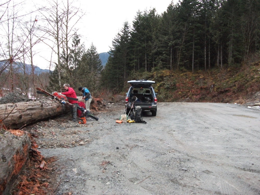
Trailhead
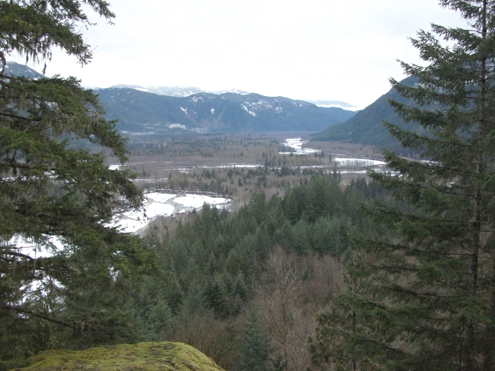
Squamish Valley
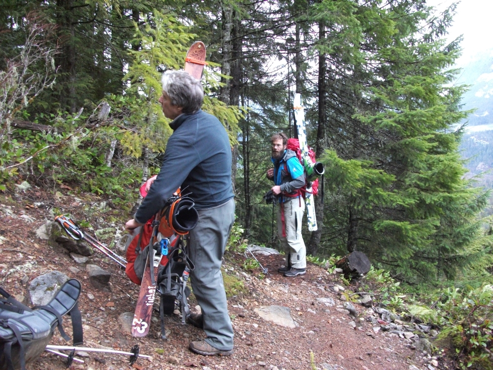
Craig and Alexis.
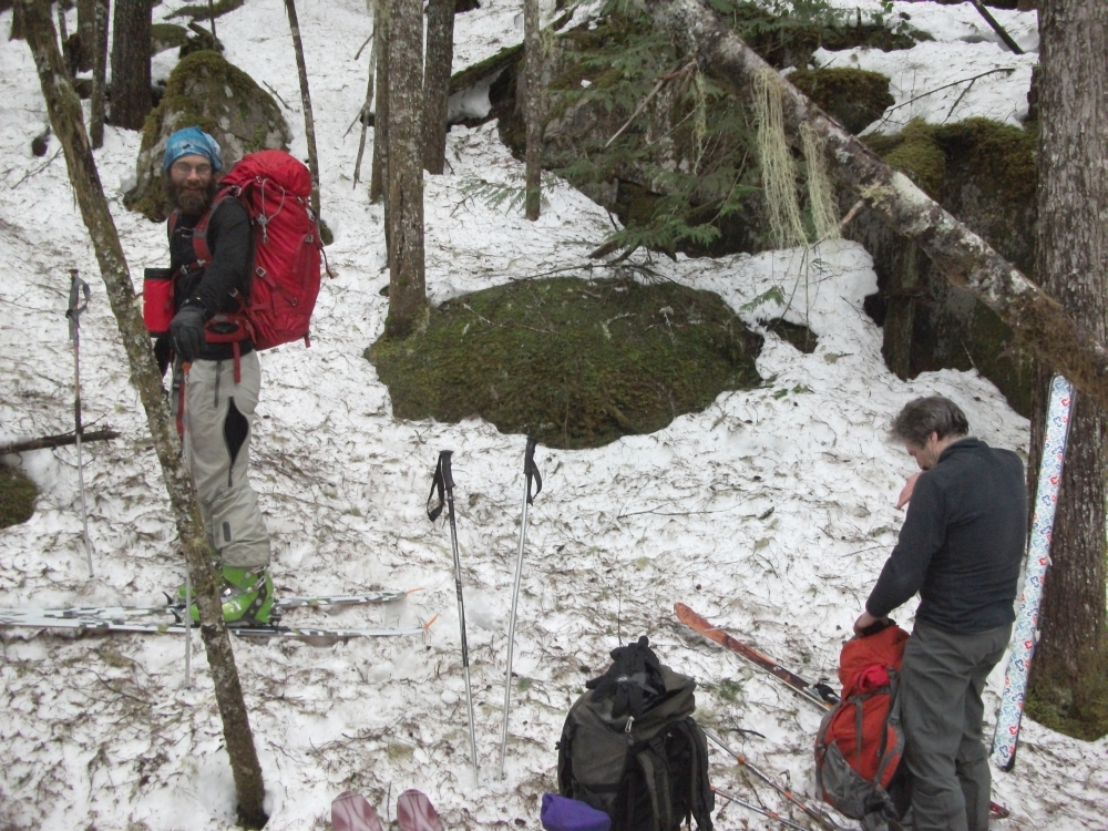
Skin up at 600 metres.
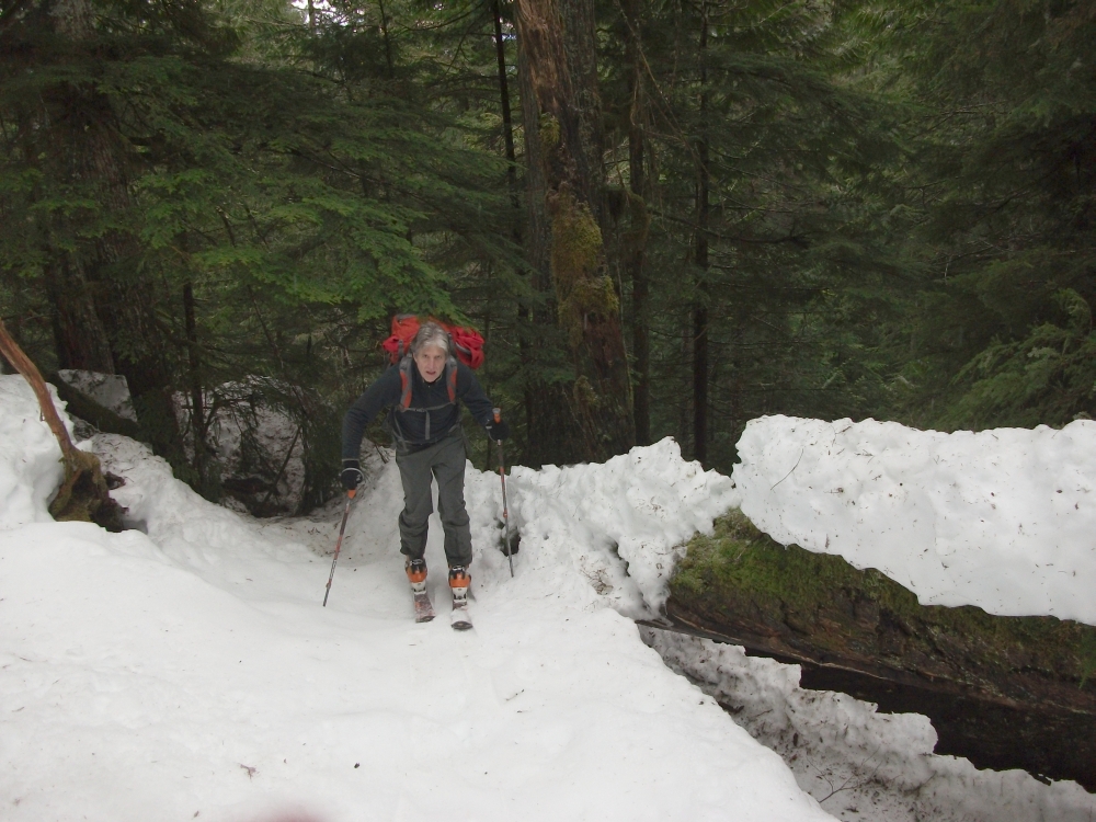
Craig dances with trees.
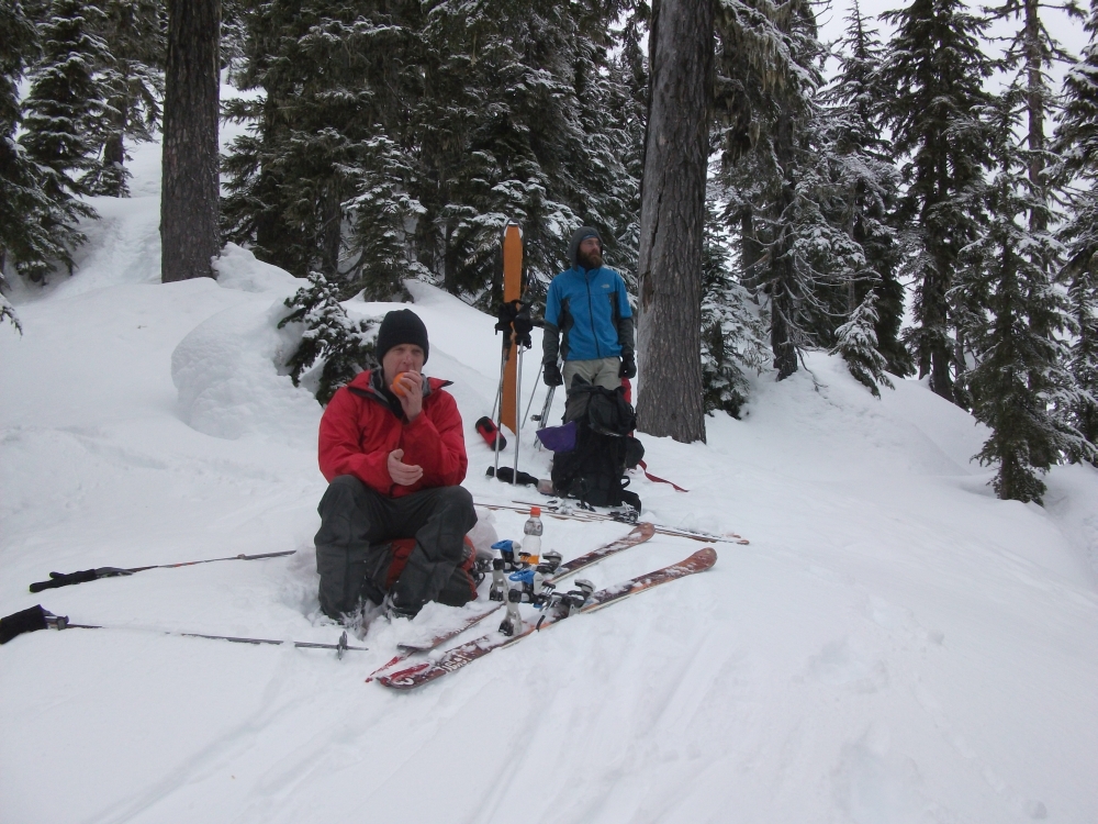
Lunch stop at 1200 metres.
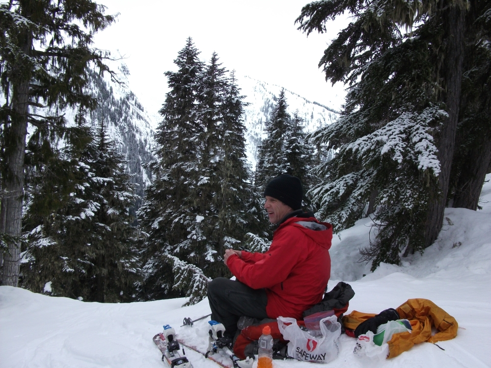
Lunch stop.
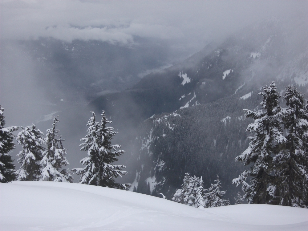
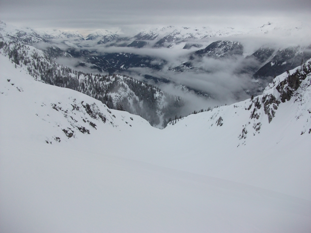
Looking down on Sigurd Creek and Squamish Valley.
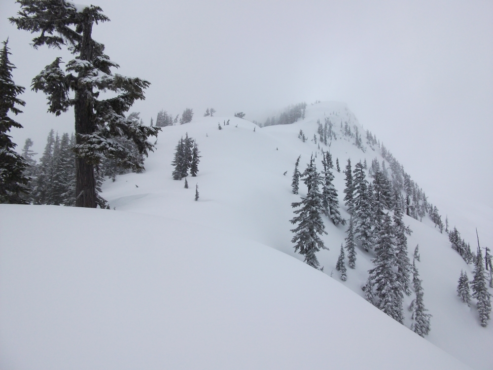
A section of ridge near 1300 to 1400 metres.
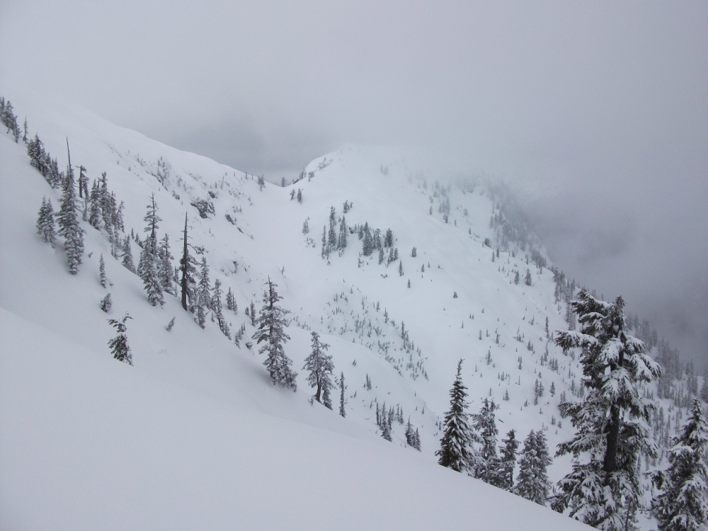
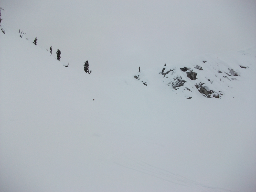
Saddle between Cassetta Creek and our descent gully.
Cloudburst Mountain.
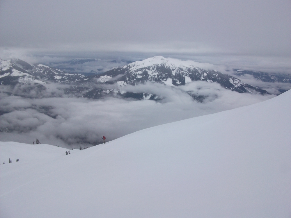
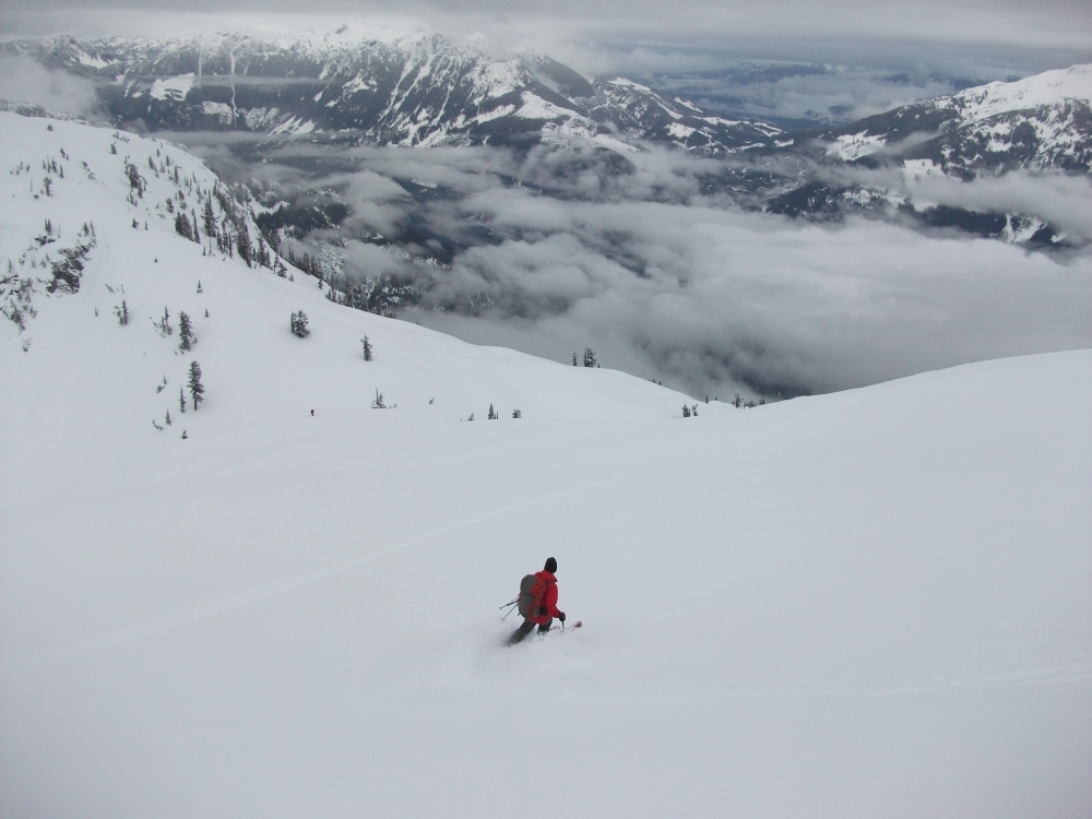
Desending the upper north face. Mount Buck opposite.
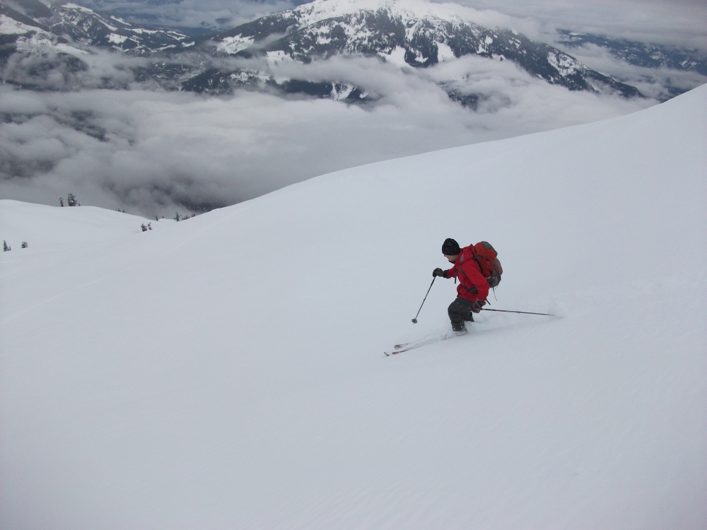
Craig with Cloudburst in the background.
Craig skiing.
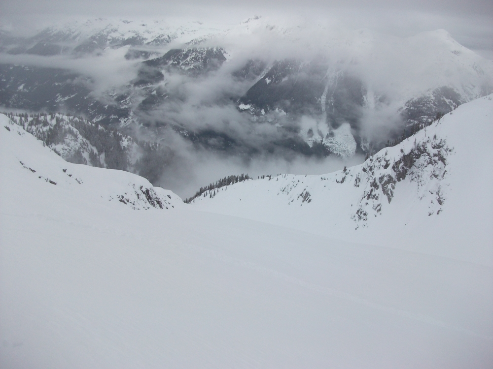
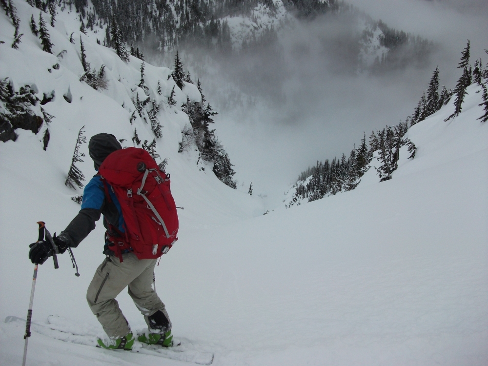
Above the toilet bowl and the U-shaped exit above the waterfalls.
Toilet bowl rim.
Alexis above the waterfall section.
According to Craig's GPX we did about 20km and 2400 m vertical
well done guys. This makes me wish I knew how to ski!

A few shots from a trip up Zig Zag in late April 2011. There was a lot more snow in 2011.

The main north face of Sigurd is in the centre. Pelion rises behind the east ridge of Sigurd. A line of cornices makes the direct north face from the summit difficult to access. We entered the face to the left of the cleaver feature splitting the north side. There was a safe entry. We skied sharply left to avoid the obvious toilet bowl feature and then cut back hard right to enter the main gully.

The exit to the logging road. You can see the upper face of Sigurd (sort of washed out) at the top. The logging road comes in from the right. We skied the clearcut on the far left side.
Fantastic report Paul! I've added this to the March newsletter. Looks like great skiing.