Beverley Ck to Rainbow Mtn, January 12, 2013
Participants: Max Aleksandrov, Nicolas Jiminez, Paul Kubik, Craig Speirs.
First off, I want to thank and draw attention to the efforts of Scott Nelson and others in the BCMC and VOC who had the vision to create the winter route up Beverley Creek. Scott was instrumental in defining and protecting backcountry access corridors through the commercial recreation tenures in the upper Callaghan Valley. He stuck with it over several years to gain concessions with the government and permit holders that benefit all backcountry recreationists.
Four of us got an early start to the day that saw us at the free public parking area at Alexander Falls in the upper Callaghan Valley just before 8 AM. The car thermometer was reading 8F. Our destination for the day was Beverley Creek winter route and the approach to Rainbow Mountain that branches off from the creek. Since we were early, there was no one on the ski trails so we just skinned up from the water treatment plant to the trailhead. The TH is reached from the Norwegian Woods trail about 100 metres after the bridge over Beverley Creek. Trail markers show the start of the route.
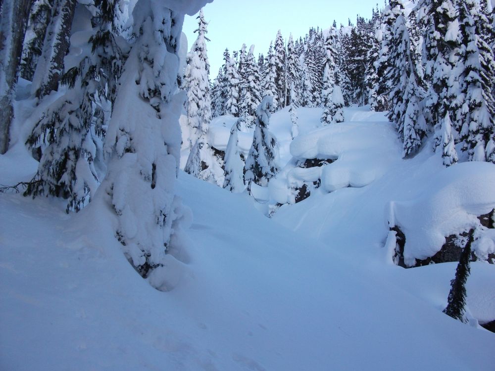
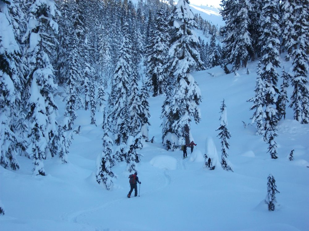
The first part of the trail is through moderate forest and the warm temperature spike earlier in the week made for lots of ice and tree bombs with little fresh powder. Conditions improved as the trees thinned about 30 minutes off the XC ski trail. The route crosses the key lake just before the junction of the Beverley Creek winter route with the Hanging Lake summer trail from Madeley Creek road. We crossed a low wooded ridge and descended gently to Beverley Creek, following the marked route.
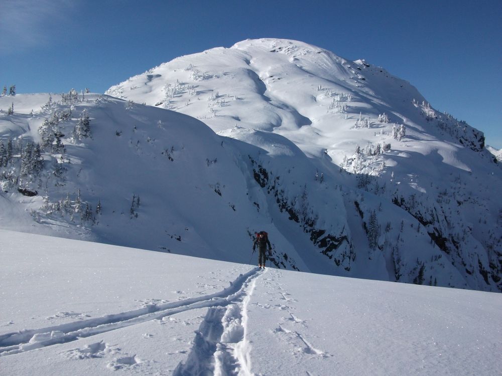
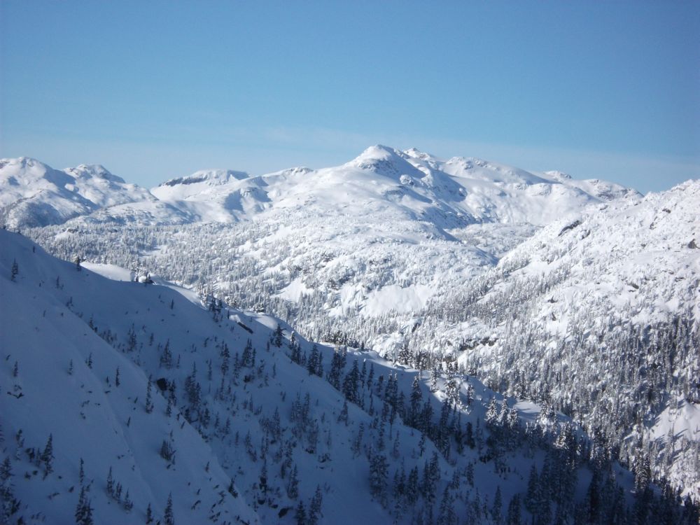
The route follows the broad bed of Beverley Creek, which was amply bridged by the 3 metre plus snowpack. After a couple of kilometres we took the major side valley leading up the west side of Rainbow Mountain. It was a pleasant ascent up the northwest-facing valley. The so-called Puma S1 dominated the western view. By noon we were cresting the pass at the valley head into the welcome sunshine. We had good views to the south of snowmobile heaven at Rainbow and Hanging Lakes. Some heli-ski tracks descended the standard route but other than that, we had the mountain to ourselves.
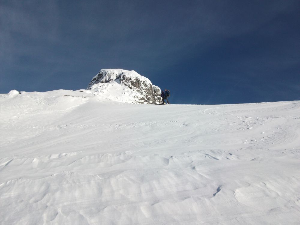
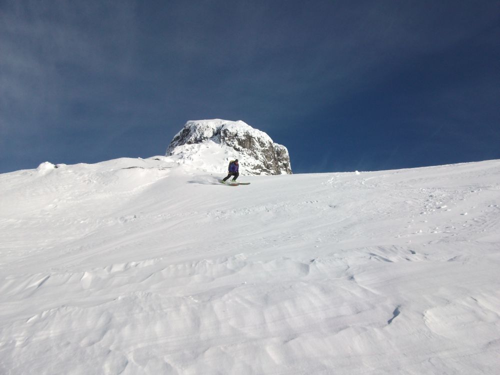
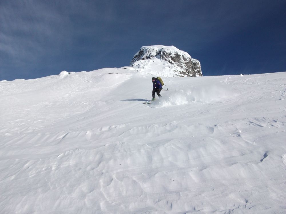
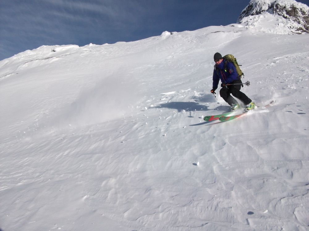
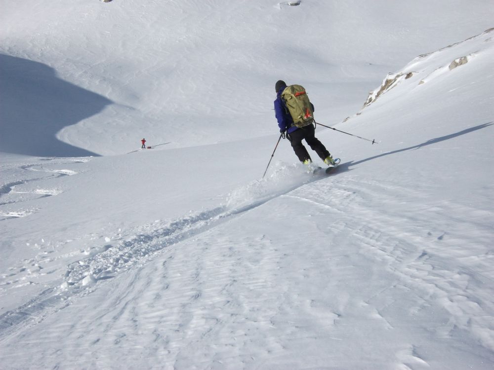
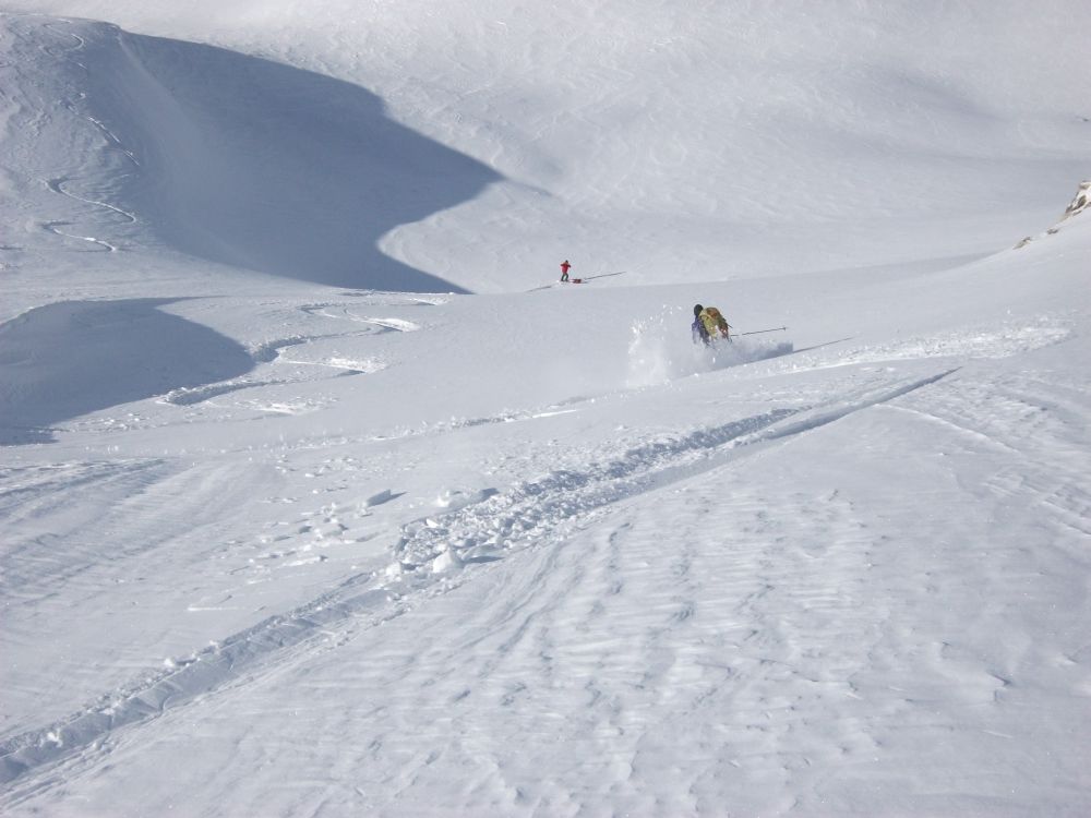
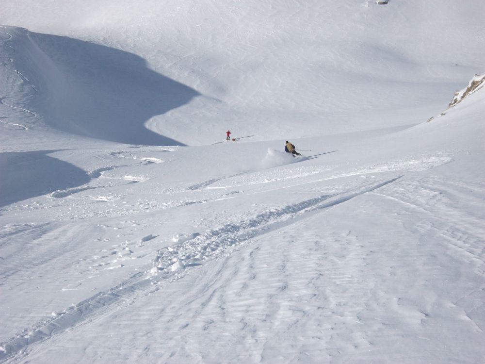
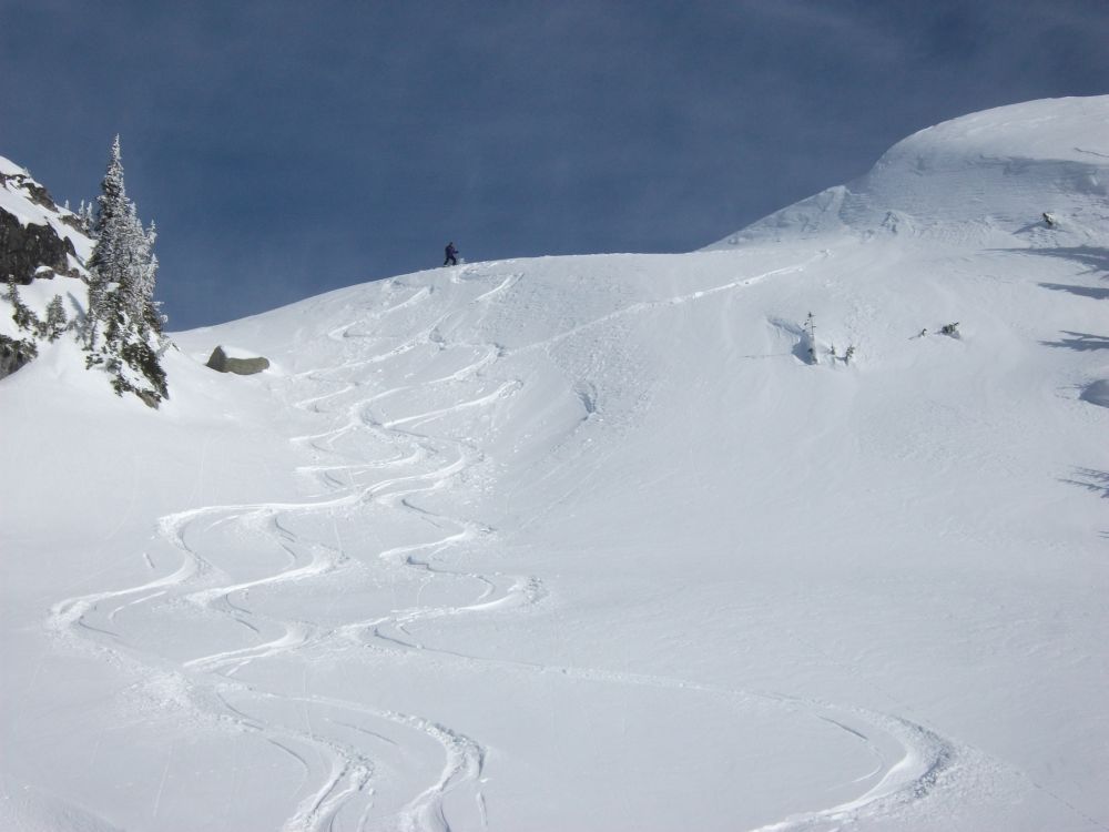
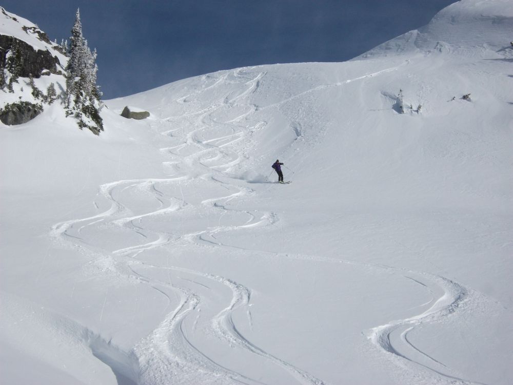
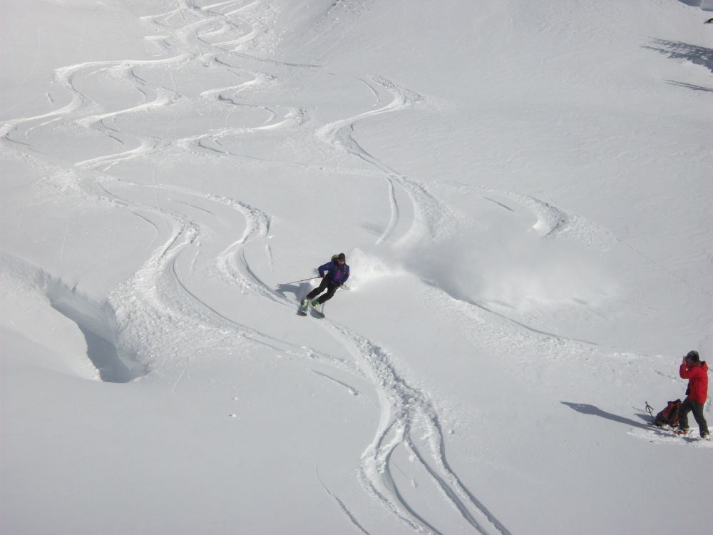
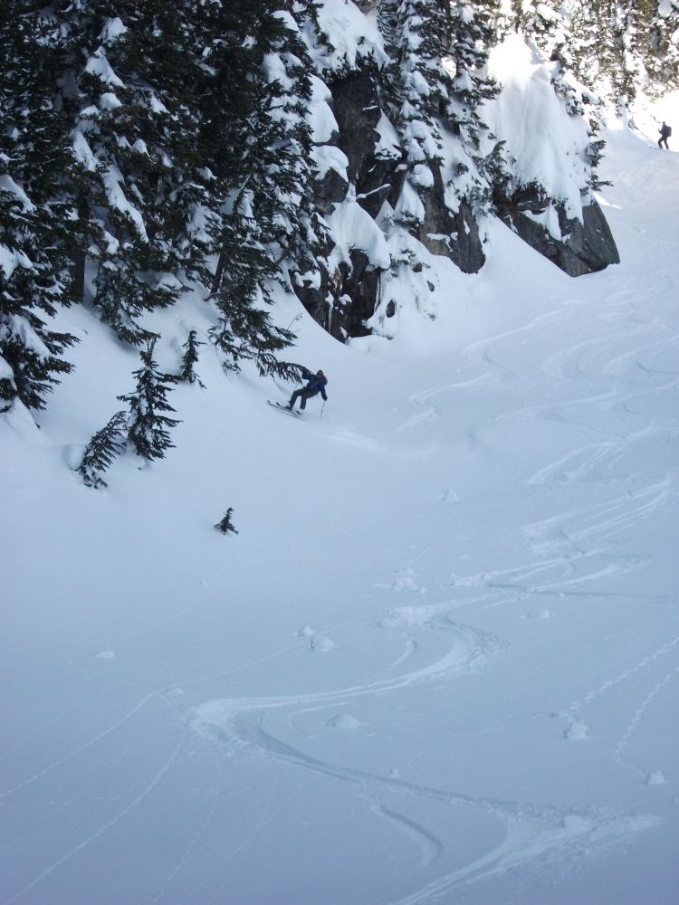
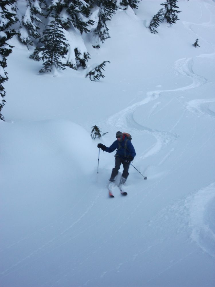
Above 1800 metres the snow quality deteriorated greatly. It was wind-hammered sastrugi. In my own ski mountaineering set up it was difficult to hold an edge. We gained the 2000 metre level shortly after 1 PM and decided to call it a day. It left us 300 metres short of the summit but the snow quality was so objectionable I don't think there were any regrets. We beat our retreat in quick time allowing us all the more leisure to pick some clean lines and snap some skiing shots.
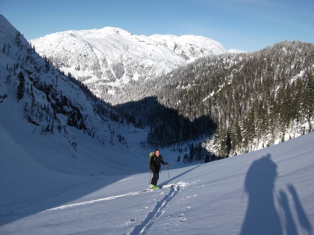
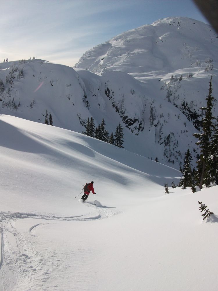
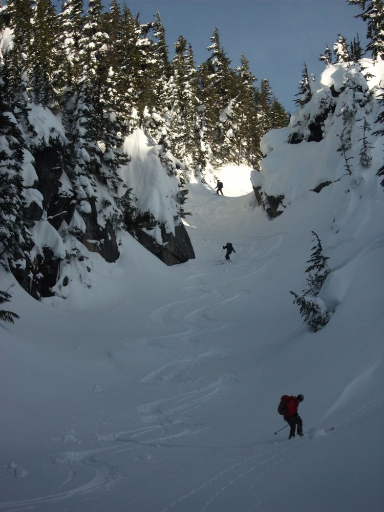
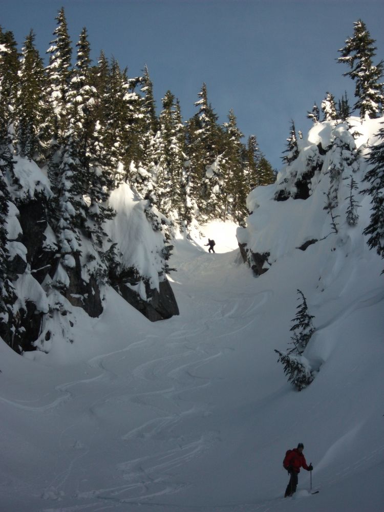
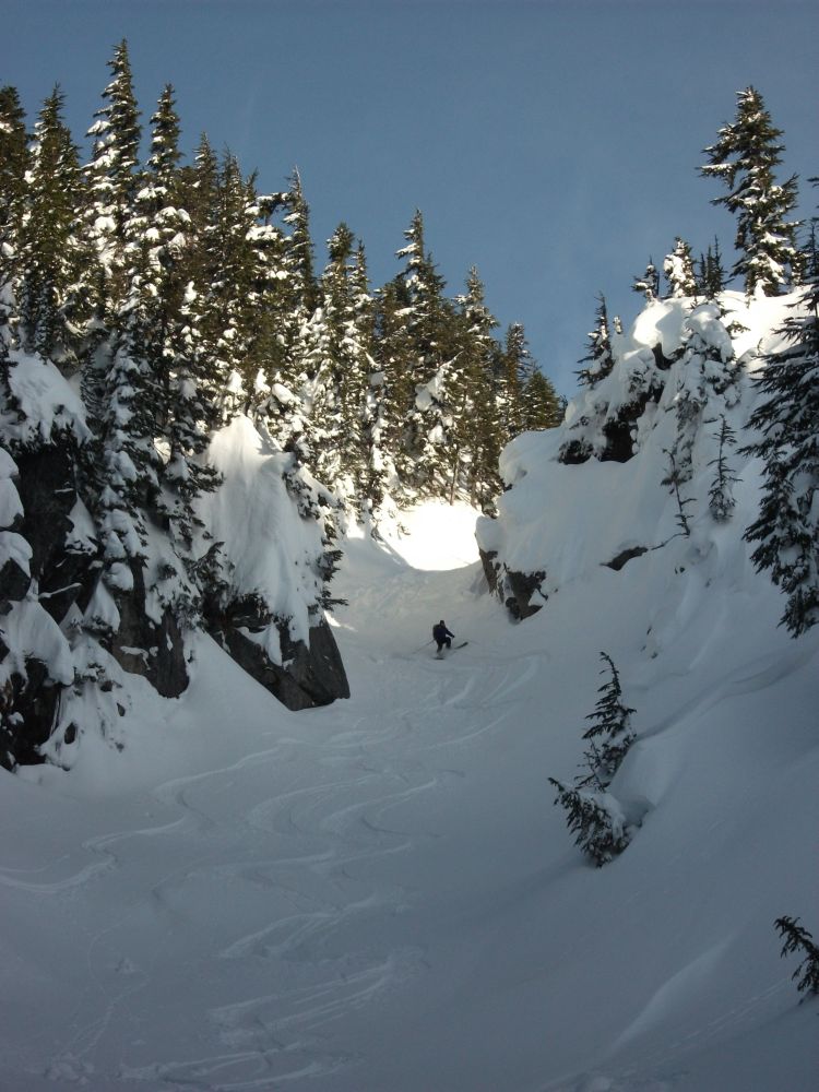
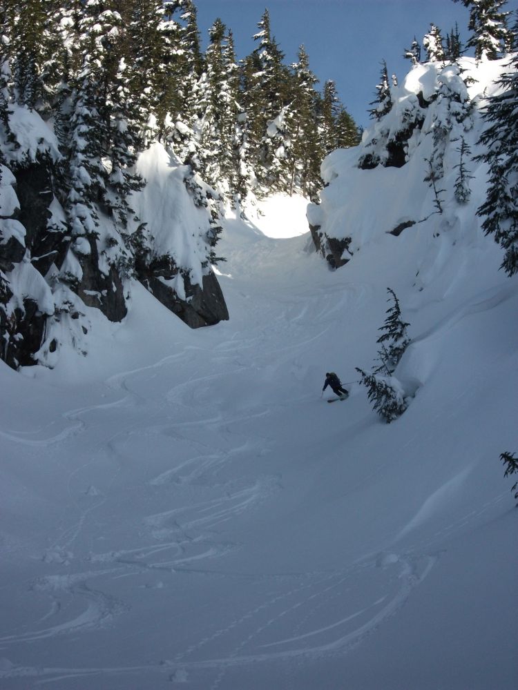
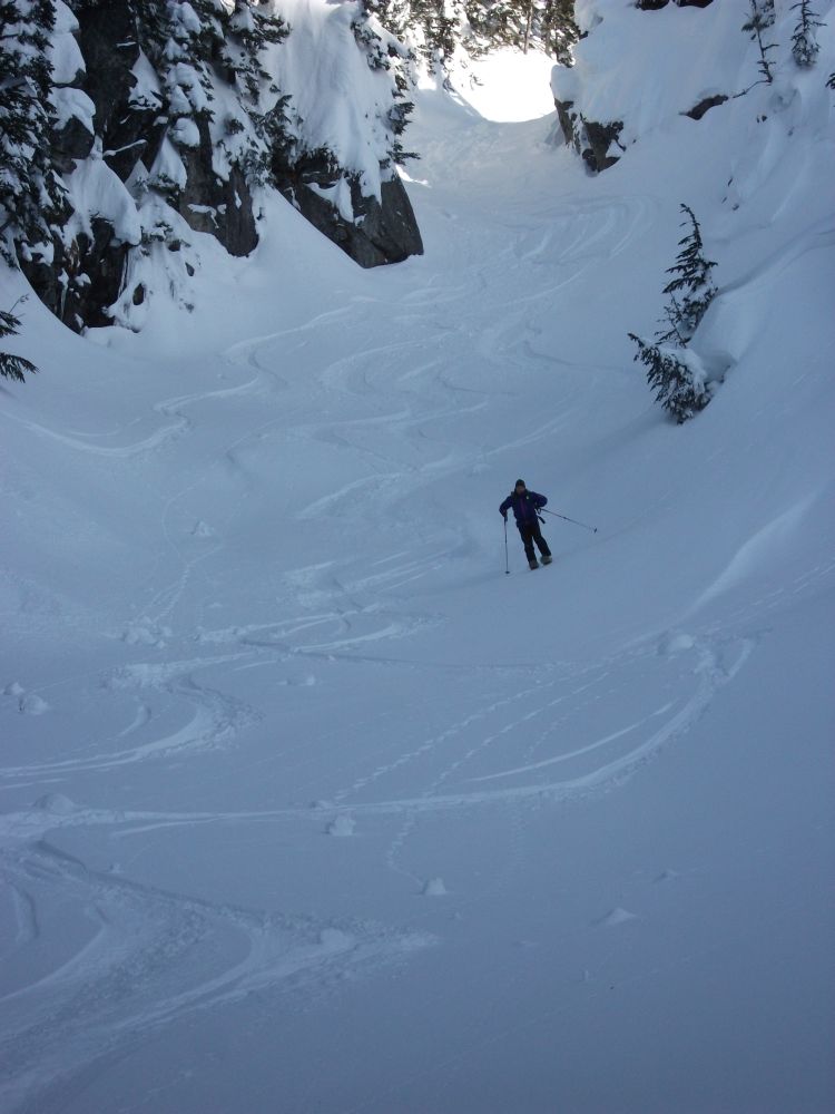
Waterfall area in the side valley off Beverley Creek.
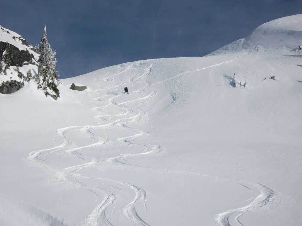
Above the waterfall.
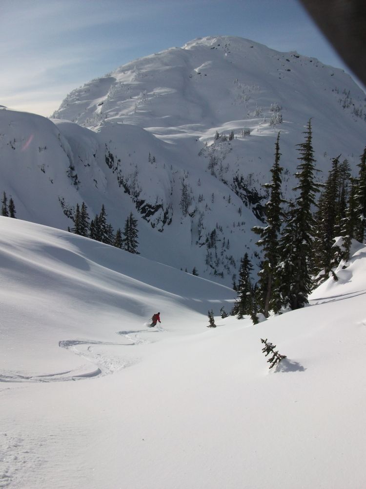
Appoaching the pass at the valley head. Puma S1 in the background.
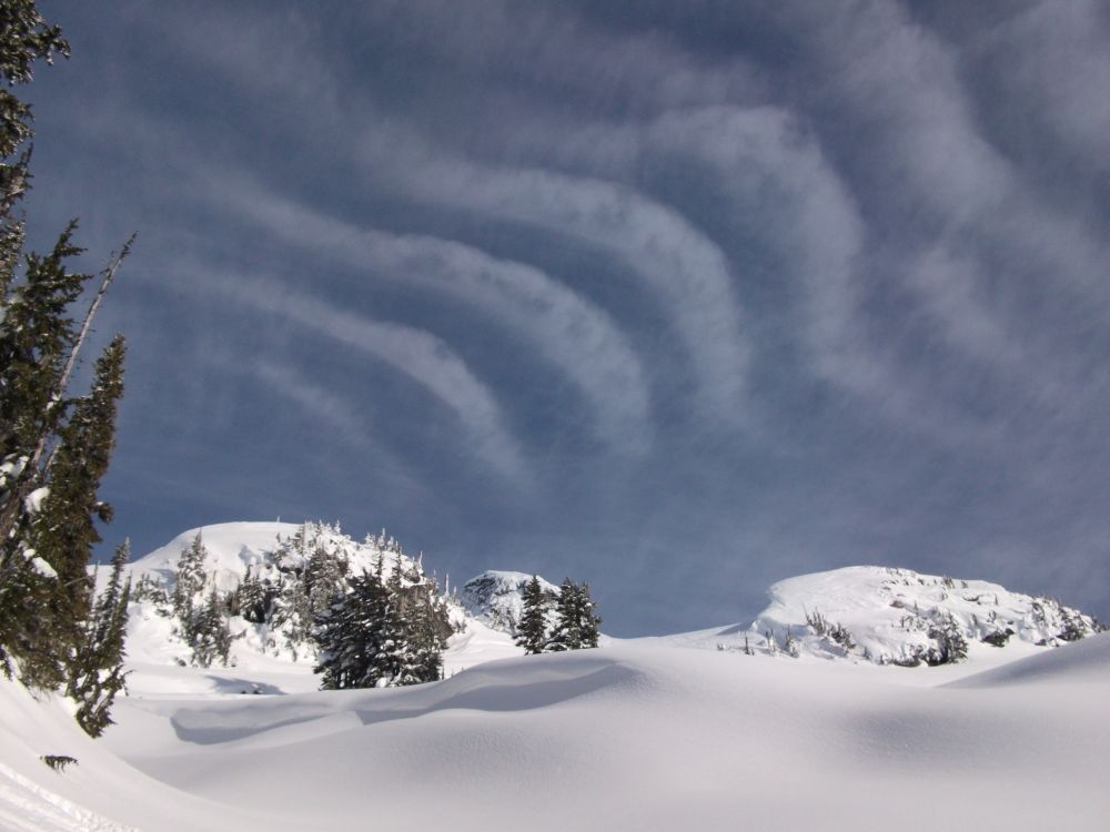
In the pass around 1600 metres.
Looking west towards Callaghan Mountain.

Snowmobile heaven at Rainbow Lake.
Near 2000 metres.


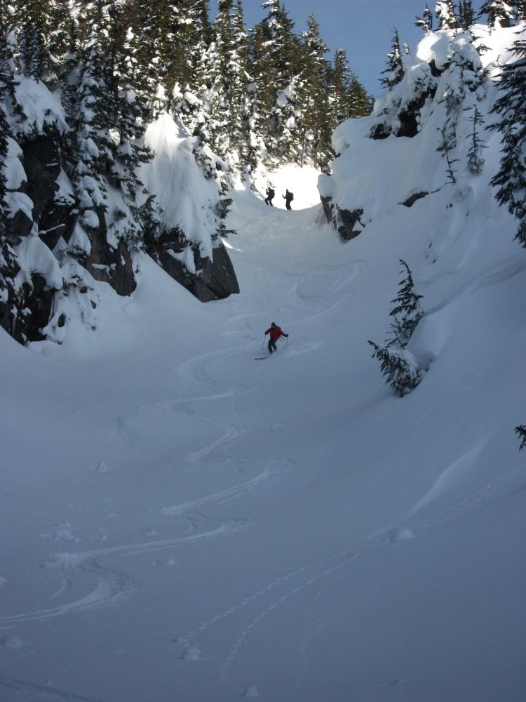
Where's the narrow canyon in the last few photos. I don't recognize it. Is it the creekbed above the waterfall in the east fork of Beverley Creek.
Scott, if you look at the third shot labeled "Appoaching the pass at the valley head. Puma S1 in the background." Max is just cresting the pass. My shadow is on the right. It is the gully that would be on the extreme right of the photo just above the shadow of my head and in front of the sunlit trees in the middle distance.